Of satellites, social media and champagne: Report back from the ESA Earth Observation Summer School
By Katherine Hutchinson, SAEON Student*
Satellite observations provide an unparalleled opportunity to observe our planet at spatial and temporal scales that are difficult, if not impossible, to achieve via in situ sampling.
However, the processing and assimilation of these remotely sensed measurements can be daunting and challenging without an understanding of the various useful techniques and procedures available.
In hopes of improving my understanding and ability to utilise the massive store of available satellite data, I applied to the European Space Agency (ESA) to attend their summer school on Earth System Monitoring and Modelling. I was accepted, and flew off to Rome for two weeks in August to increase my knowledge on this topic, network with a diverse array of international scientists engaging with this type of data, and build new friendships.
|
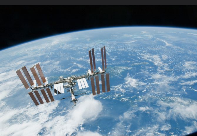
The role of satellite data in oceanographic research
The usefulness of satellite data in oceanographic research is well known. My Master’s dissertation utilised satellite altimetry data in conjunction with CTD** and Argo measurements of the region of the Antarctic Circumpolar Current (ACC) south of Africa to develop a proxy technique called a Gravest Empirical Mode. I established a set of relationships between the height of the sea surface and the temperature and salinity structure of the water column below. Using this known relation I could then “fill in the gaps” in density data for the ACC south of Africa by using satellite data for the region since 1992 to obtain 20 years of thermohaline fields at a weekly resolution. From this I observed a significant increase in heat content of the upper 2000 m over the last two decades. It was on the basis of these results that I was invited to present at ESA.
|
The summer school focused on four key topics: Global Observing Systems; Earth System Modelling; Data Assimilation; and Global Change. I found the Modelling and Global Change sections specifically interesting. We learnt the importance of in situ measurements in driving numerical models and pulling the analysis closer to the truth at incremental time steps.
Knowledge about the accuracy of the observations is also of the utmost importance as it allows biased measurements to be allocated a low weighting, and as such, observations with a high level of confidence can be allowed to have a strong effect. The global change section was very thought provoking and some of the reports on ocean acidification, deforestation and bushfires inspired emotional responses. Satellites have enabled a holistic view of our planet and provide perspective into the global repercussions of human actions.
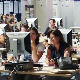
Over 70 students - mostly PhD students and young postdoctoral scientists - from 23 countries attended daily lectures by 12 leading scientists. In the afternoons, the students were given practical computing exercises on the processing of Earth observation data with computer-based learning.
Developing an economically viable product
We were given group projects to develop a product or service for the space agency to commercialise. The project scope included incorporating remotely sensed data in an innovative product. The product needed to be economically viable and as such we were required to sell our ideas to potential investors. This was a learning curve for all us student scientists who are often detached from the commercial applications and usefulness of our data and methods.
|
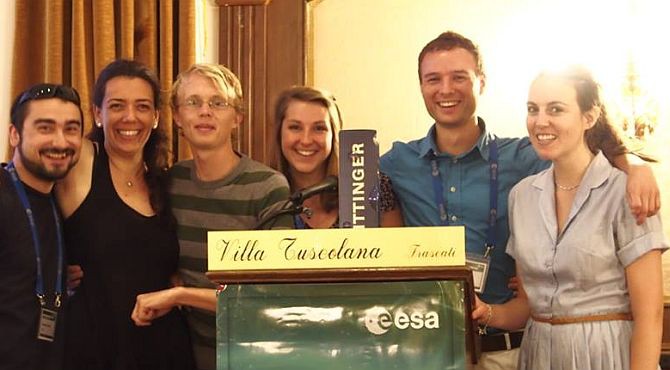
My group developed a game called “The Playground”, designed as an application to be downloaded and played on a mobile phone and involving social media. The player is presented with images, either a real satellite image of our planet or a decoy image, say a microscopic image of a dog hair. The game involves deducing whether the image is of satellite origin or not, while competing with Facebook friends. It is fast paced and addictive - ultimately designed to translate scientific knowledge and methodology to people at a grass roots level.
The definitive goal of the application was to provide education regarding what remotely sensed data look like, as well as the usefulness of the data in observing our planet. My team won and we received a bottle of Taittinger French champagne as our prize, with which we celebrated our achievement on our last evening in Rome.
The summer school was a wonderful experience - I learnt a huge amount while also having fun and meeting fascinating people from all around the world. I was the only person from Africa and was very proud to represent my county and continent.
* Katherine will join SAEON next year as a PhD in the National Research Foundation’s Research Professional Development Programme .
** A CTD is an oceanography instrument used to determine the conductivity, temperature, and depth of the ocean.