
SAEON and SANParks test landscape unit concept in Tankwa Karoo Park
By Helga van der Merwe, RCA Fellow, SAEON Arid Lands Node
|


|
Developed as a planning tool for environmental management and research, the landscape unit concept involves the identification of units with distinctive geomorphology, soil, land types and refinements thereof, plant species composition and vegetation structure.
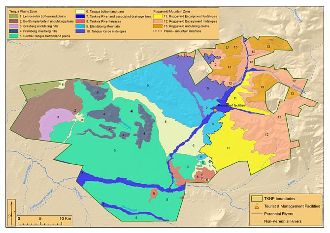
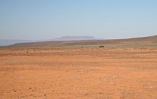
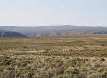
SAEON and South African National Parks (SANParks) have joined forces to test this concept for possible use in the Tankwa Karoo National Park. The park has expanded its boundaries considerably over recent decades and currently covers an area of more than 145 000 ha. In order to protect the natural resources and natural processes within the park, the correct management of the park is crucial.
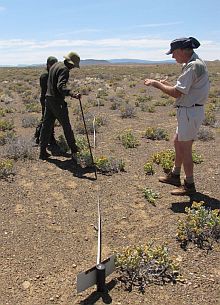
For the park management plan, the day-to-day management of the park and guidance of scientific research to be conducted within the park, a specific tool is required to define a unit in which certain actions can be taken or guided. It was for this purpose that SAEON’s Dr Helga van der Merwe collaborated with Dr Hugo Bezuidenhout and Dr Peter Bradshaw of SANParks to test the landscape unit concept within the park.
A vegetation study conducted in the original proclaimed park (27 064 ha) used to be of great value to management during the early years. The map is now of limited value owing to the subsequent expansion of the park. Other vegetation studies at both a regional and national scale are too coarse to use in the park's management.
New set of management tools
In order to overcome these obstacles, all landscape units within the park were recently classified, mapped and described in order to produce a set of tools for various end users, which include park managers, scientific managers, external researchers from universities or other academic institutions as well as park planners.
The landscape units were related to habitats and/or vegetation types identified during previous studies in the area. Environmental parameters provide additional information for consideration for each unit. Landscapes identified are described in detail so that, for example, sensitive landscapes can be avoided, transformed areas can be monitored and rehabilitated if necessary, and alien invasive species can be targeted for eradication.
The landscape unit concept was found to be an excellent, cost-effective and time-efficient tool to guide future management decisions in extensive conservation areas.
Read this article for more information on the technique.
|